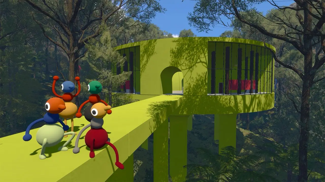
How to navigate the island
Big Walk does not need to be rushed. Use the horizon, unusual structures, coastline and signs to build a mental map as your group moves.
The most useful map entries will pair a landmark image with nearby challenge types, routes and a safe place for separated players to regroup.
Map coverage
This guide is intentionally growing from verified gameplay. Areas will be added with screenshots and landmark names rather than an invented map made from assumptions.
The two maps in the Map Room
Insider Gaming reports that the Red Tower route opens a blue tunnel room containing two map views. The large fixed map is useful for seeing the island's puzzle layout and landmarks; the smaller paper map can be carried and read with coordinates.
On the large map, a standing puzzle reward indicates an unfinished challenge, while a laid-down reward indicates that the reward has been collected but still needs to be submitted. Keep this as a credited third-party route note until the wiki captures the states in-game.
| Map view | Use | Status |
|---|---|---|
| Large room map | Scan the island, landmarks and remaining puzzle rewards | Insider Gaming report; pending in-game capture |
| Portable paper map | Carry it to a route and read coordinate positions | Insider Gaming and GameSpot cross-reference |
| Puzzle reward marker | Standing means not completed; laid down means collected but not submitted | Insider Gaming report; pending in-game capture |
Regrouping tips
Agree on a meeting landmark before splitting up. If someone disappears beyond voice range, use a flare or a visible high point instead of everyone wandering in different directions.
World details to document
The materials document flags natural environments, day and night, lanterns, distant landmarks, open exploration and shortcuts as recurring world topics. These are the fields to capture when adding a new area page.
| Detail | What to record | Why it matters |
|---|---|---|
| Landmark name | A visible tower, coastline, bridge, map room, tunnel or colored structure | Gives separated players a shared word for where they are. |
| Nearby tools | Flares, binoculars, radios, lanterns, megaphones or other objects | Shows what the area teaches or supports. |
| Light and time | Whether the route changes visibility at night or needs a lantern | Explains why screenshots may look different. |
| Shortcut access | Gates, tunnels, chairlift paths or train routes | Helps groups resume after the host reloads a save. |
| Player-count impact | Whether the area was checked in 2-player, 3-player or 4+ world settings | Prevents one group size from being treated as universal. |
| Spoiler level | No-spoiler landmark, light hint, full route or puzzle solution | Keeps exploration pages useful without revealing too much. |